Accuracy Matters.
We incorporate the latest tools and technology in pursuit of capturing robust surveying data in the most efficient manner – all for the benefit or our clients.
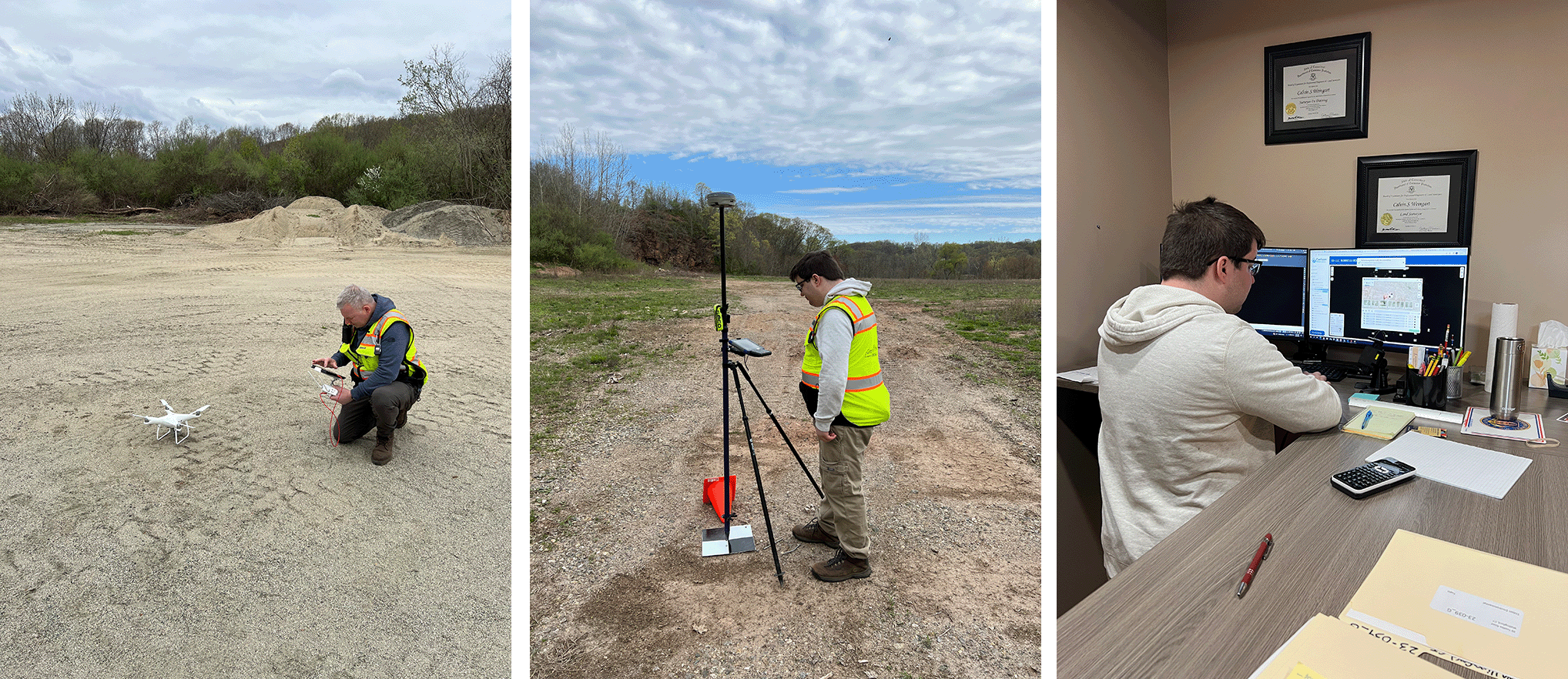
Here, Calvin Weingart enters flight data and commences a drone flight. Utilizing this tool gives the ability to augment data collection on sites. In this case we are doing so in Wallingford and East Haven, CT.
Once the flight is complete, team member Ben Weingart monitors the collection of GPS data on a ground control point. This data allows the team to precisely relate ground positions to target locations captured by the drone. Once the field work is done, Ben works in the office to perform the corrections and commence processing.
Accuracy Matters – we have the tools and know-how to help with all your surveying needs.