
Permitting
A variety of regulatory agency permitting including Inland Wetlands permitting, Planning & Zoning, Zoning Board of Appeals, and State of CT DOT & DEEP.
View Service Detail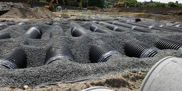
Storm Water System Design
The first step taken when designing a Stormwater Management System is determining the best management practice (BMP) given a variety of environmental factors.
View Service Detail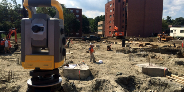
As-Built Surveys
As-Built Surveys depict or note the position of all improvements on the property with respect to boundaries, record easement lines and pertinent municipal setback requirements and deed restrictions.
View Service Detail
Land Use Presentations
Our engineers have experience working with numerous towns and city planners and are well known for their work around the State of Connecticut.
View Service Detail
3D Laser Scanning
3D Laser Scanning is an up and coming alternative to traditional survey techniques. The scanner creates three-dimensional "point clouds" of the area being scanned, allowing for wire-frame drafting, the capture of minute architectural details, and more...
View Service Detail
Elevation Certificates
Floodplain Elevation Certificates are used by insurance companies to assess your flood risk. Without an elevation certificate, your risk is determined by your geographical location on the "FEMA Floodplain" maps.
View Service Detail
Site & Roadway Design
In the design of Roadways, it is essential to produce a practical design that meets town standards and expected use.
View Service Detail
Boundary Surveys
(sometimes referred to as Property Surveys) involve the investigation, study, field measurement and evaluation of factors affecting boundaries, real property interests and other relevant matters with respect to the subject of real estate.
View Service Detail
Topographical Surveys
A Topographic Survey is a type of survey which depicts the configuration (relief) of the earth's surface and the location of natural and artificial objects thereon. Survey datum and contour intervals will be depicted.
View Service Detail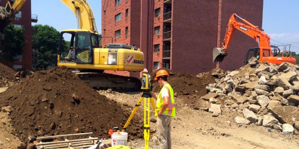
Construction Layout
Construction Layout (or stake-out) involves the depiction of design points or proposed structures at a site. Our robotic total station allows for efficient and flexible stake-out.
View Service Detail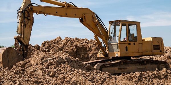
Subdivision Design
Subdivision Design involved the creation or alteration of land parcels within a subdivision such that they continue to meet town standards and design needs.
View Service Detail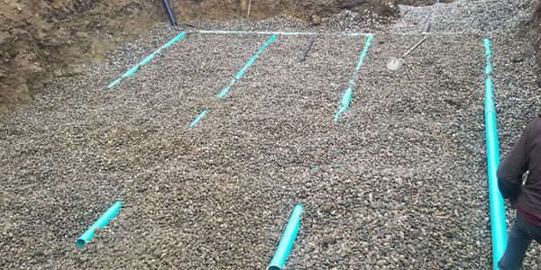
Septic System Design
Good Septic System Design involves effective testing of local soil conditions and practical design solutions for the problems those conditions may product.
View Service Detail
Land Use Planning
At the heart of Land Use Planning is the intent to prevent conflict. Input is gathered from all parties to create a common ground from which expectations of land use are met.
View Service Detail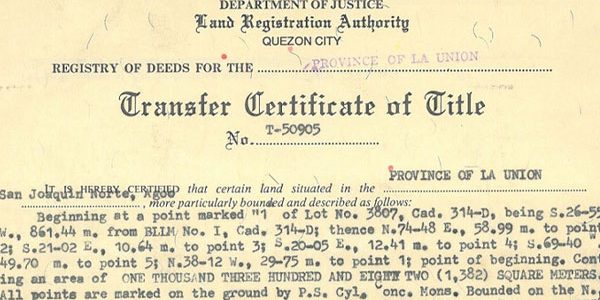
Land Title Research
Years of experience digging through the heaps of old files in town halls have made us experts on matters of research.
View Service Detail
Utility Mapping
Quick and efficient mapping of ground utilities, such as water, gas, and electric.
View Service Detail
ALTA/NSPS Survey
A variety of regulatory agency permitting including Inland Wetlands permitting, Planning & Zoning, Zoning Board of Appeals, and State of CT DOT & DEEP.
View Service Detail
Drones
Our FAA certified drones, with the help of our FAA certified drone pilot, can help get the job done in even the toughest surveying conditions.
View Service Detail