Every successful project starts with an idea.
Whether it’s a new commercial development, an addition to your home, a property purchase, or a site redevelopment, the excitement usually begins with a vision of what’s possible. The next call is often to an architect, builder, or contractor to begin discussing concepts, layouts, and budgets.
What many property owners don’t realize is that one of the most important pieces of the process often comes later than it should.
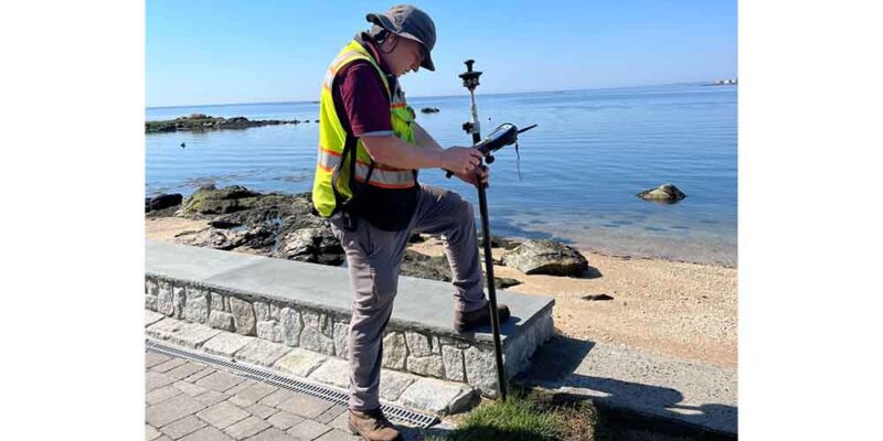
The survey.
By the time a surveyor is contacted, project schedules have frequently already been established, expectations have been set, and everyone is eager to move forward. Unfortunately, that’s often the point where reality begins to catch up with the timeline.
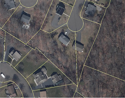
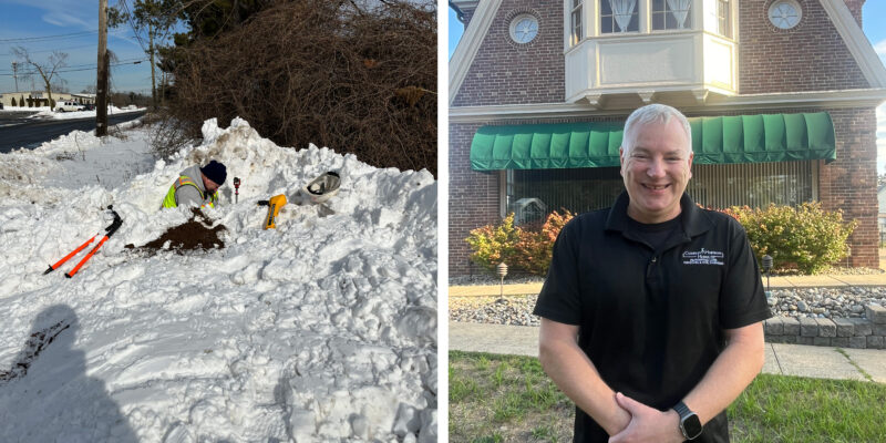
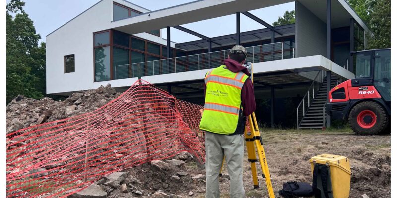
A professional survey provides the foundation for everything that follows. Property boundaries, easements, existing conditions, utilities, topography, wetlands, and other site characteristics all influence what can ultimately be designed, permitted, and built. Without that information, design decisions may be based on assumptions that later need to be revisited.
Once the survey is complete, engineers can begin preparing plans that satisfy local zoning requirements, municipal regulations, and site constraints. From there, plans are submitted for review, comments are addressed, revisions are made, and approvals are secured before construction can begin.
It’s a process that takes time.
When surveying and engineering services are brought into the conversation early, project teams have the information they need to make informed decisions from the beginning. Potential challenges can often be identified before they become costly delays, allowing schedules and budgets to be developed with greater confidence.
The same principle applies to real estate transactions. Closing dates are often established before anyone considers whether a property survey is required. When that happens, surveyors are asked to meet deadlines that may simply not reflect the time needed to complete accurate, professional work.
There is no substitute for good planning.
Every project is unique, but one lesson remains remarkably consistent: the earlier survey and engineering professionals become part of the conversation, the smoother the path tends to be from concept to construction.