
Building on Trust, Delivering Results:
Godfrey Hoffman Hodge Celebrates 100 Years!
We’re pleased to share the news of this milestone and look forward to continuing to do what we’ve been doing for a century: providing our clients with fast, accurate and quality services. Here’s a brief history of how we got here:
1924: The story begins when two young engineers, recent Yale graduate Lewis Stein and Constantine “Gus” Giordano meet while working for the City of New Haven Engineering Department. Together, they set out on their own and forge a partnership in New Haven, laying the foundation for a legacy in land surveying.
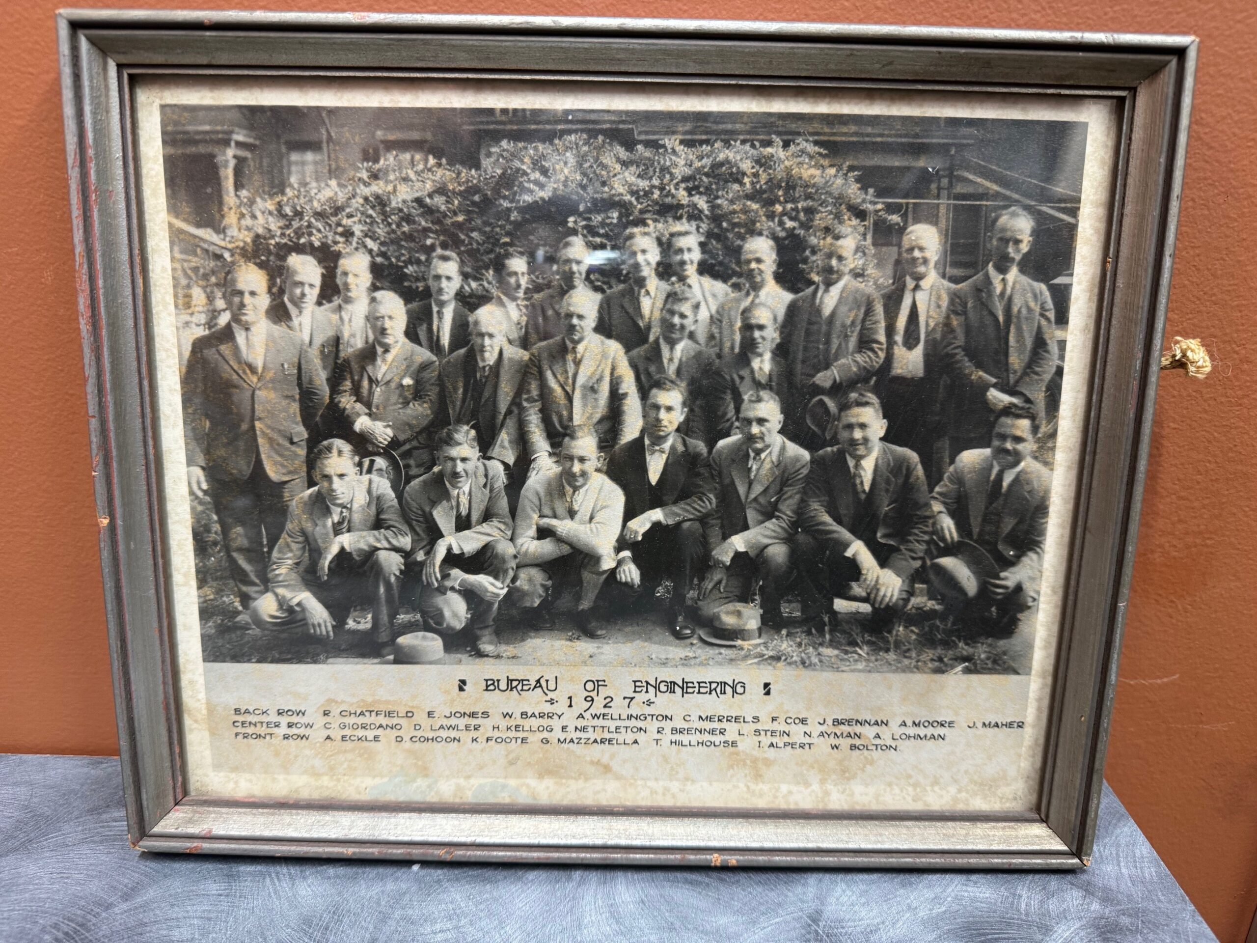
Bernard Godfrey enters the scene. While still in high school, he learns the ropes under Stein & Giordano’s guidance, igniting a lifelong passion for the field. His journey takes him through forestry, entrepreneurship, and back to surveying, eventually marrying Stein’s niece and taking over the firm in 1960.
Enter the next generation: Adam Hoffman, Godfrey’s nephew, joins the firm in 1977, inheriting the family’s dedication to precision and service. He expands his expertise with a forestry degree and land surveying minor, rising through the ranks before becoming a partner in 1988. The firm rebrands as Godfrey-Hoffman Associates.
The 2000s usher in expansion. Godfrey retires in 2000, and Hoffman restructures, solidifying the company’s future as a Limited Liability Company. The firm ventures into engineering with the addition of Victor Benni in 2001, further diversifying its offerings.
2010 marks a pivotal moment. Hoffman acquires Hodge Surveying, a Farmington Valley mainstay since 1925. This strategic move broadens the company’s reach and expertise.

Finally, in 2019, the two entities merge to become Godfrey Hoffman Hodge, LLC. This marks a culmination of nearly a century of dedication, bringing together 100 years of combined experience in land surveying and engineering.
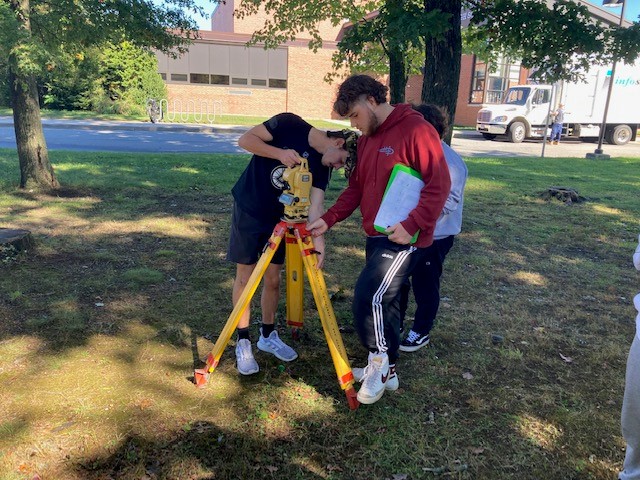
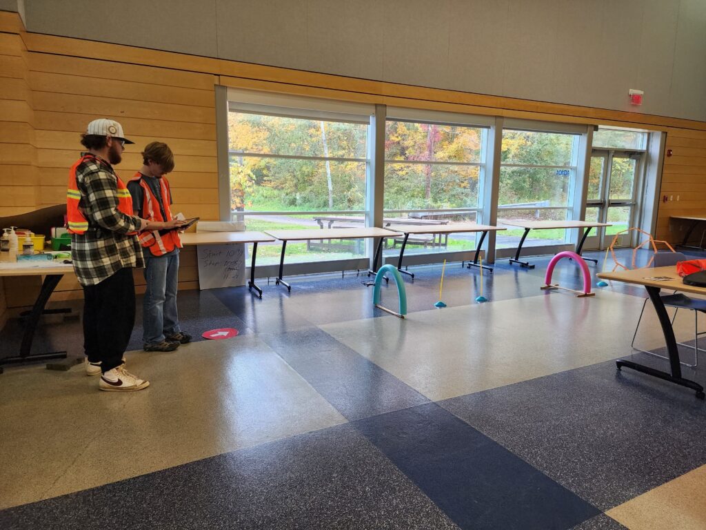
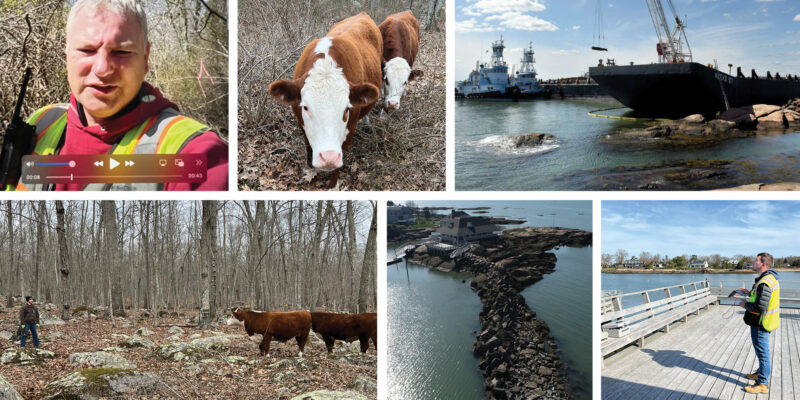
Today, Godfrey Hoffman Hodge stands as a full-service powerhouse. We tackle projects across Connecticut, serving public, private, commercial, residential, and industrial clients. Our commitment to quality, accuracy, and cutting-edge technology ensures every project receives the attention it deserves.
 More so than ever before, people are using GPS devices to navigate the world around them. Few youngsters these days would even know how to navigate by map, when their phones can create a route from point A to point B in a matter of seconds. So one might ask; is there even a need for maps anymore?
 As with all GPS technology, it has come a remarkably long way very quickly. And though it is still a long ways from being survey-grade acceptible in accuracy, it has an array of practical applications that are saving surveyors a lot of time and hassle.