

Topography is a geographical term defined as the study and mapping of the features on the surface of land, including natural features such as mountains and rivers as well as constructed features such as highways and railroads. This term is usually confined for a particular area regarding all of its features.
What is Utility Surveying in Connecticut?
 The term Utility refers to a useful thing that provides an advantage to the person, place, or thing that is implementing it. The utility in this context is a public utility that serves useful purposes to the common person, neighborhood, or city. An example of your local utilities could be: water, sewerage, gas, electricity, and phone/cable lines. The installation and proper use of these utilities are comprehensive and complex networks that have been usually installed by the engineers underground or above surface with the intent of uninterrupted use of them.
In the case of water, sewer, and gas, there is a complex structure of pipeline comprising of various diameters at various depths underneath the ground that are present. The term surveying is looking at something analytically and carefully that the human eye cannot analyze without using technology. So collectively “utility surveying” means the act of careful observation of the utilities and the network structure installed for the transportation of those utilities in a particular area.
Continue reading “What is Utility Surveying in Connecticut?”
Land Survey Data: Who Actually Owns It?
 If you’ve ever had a land survey performed then you probably asked yourself, where does this data end up? The answer is the entire collection of data from a survey is owned by the client but is held on file by the surveyor. Survey data is the primary prerequisite for any construction or building project in Connecticut.
There are several methods for delivery and collection of survey data and the entire process is accomplished in a systematic way. This survey data can include a number of things such as horizontal and vertical distances, slope distances, angles, contours, and excavations.
Survey data is basically classified into three categories: the deliverable data, the data gathered during the course of time and the knowledge and experience gained during the course of time.
The Total Station & Land Surveys: A Background Story
 The total station was introduced in 1971 and for the first time distance and angle measurements could be recorded by one instrument. The total station is a transit integrated with an EDM, electronic distance meter, which can read slope distances from the instrument to a particular point of land. This combination gives the surveyor the capability of retrieving data related to the coordinates of the reflector in the device.
Continue reading “The Total Station & Land Surveys: A Background Story”
National Surveyors Week : March 17-23
Surveying & Civil Engineering for CT Homeowners
 Plan Ahead
 Plan Ahead
Investing time and money in professionals who are experts in surveying and civil engineering for Connecticut homeowners ensures that you will be protected with regard to the laws that govern how you can use your property and land assets. If and when you sell your property in the future, your buyers will also benefit from any land surveys that will provide answers to any legal questions that might arise concerning your property.
Continue reading “Surveying & Civil Engineering for CT Homeowners”
Residential Surveying & Civil Engineering in Connecticut
Residential buildings and homes have special codes and certifications that must be followed before construction begins. When hiring a residential surveyor or civil engineer consider your intended project purpose and the suitability of the company in question. Surveying and civil engineering in Connecticut requires a specific knowledge of the unique environmental conditions and the materials that work best for the environment. By choosing a local surveyor or civil engineer it can be easier to work directly with the company and determine the best course of action for your project. A professional and experienced firm will help you design a natural structure that complements and enhances the existing environment.

Continue reading “Residential Surveying & Civil Engineering in Connecticut”
Surveying & Civil Engineering for Municipal/Government Property in CT
 Civil engineers work within the State of Connecticut to design and oversee various municipal and government construction projects. Civil engineers and land surveyors provide the plans that allow workers to effectively build roads, complete construction projects, construct airports and ensure that various structures such as tunnels and bridges are built correctly.
These professionals also work on water and sewage systems required for cities, towns and other localities. Mostly, you find a civil engineer or surveyor working in an office. However, sometimes work requires a view of the construction area or to monitor the construction process and prevent any problems on-site. Engineers and surveyors are commonly employed by the city to deal with complex road and drainage issues.
Continue reading “Surveying & Civil Engineering for Municipal/Government Property in CT”
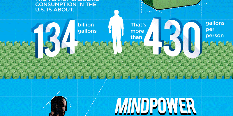
[INFOGRAPHIC} The Top Engineering Achievements of 2012
This Infographic about the Top Engineering Achievements of 2012 was brought to our attention and we wanted to share this with you. Enjoy!
Continue reading “[INFOGRAPHIC} The Top Engineering Achievements of 2012”
Continue reading “[INFOGRAPHIC} The Top Engineering Achievements of 2012”
LID: Low Impact Development in Connecticut
 Introduction
 Introduction
LID is an alternative process of land development aimed at minimizing the impact of urbanization in Connecticut’s natural habitats by replicating the original conditions found on the pre-development site. In fact, it is more of a strategic approach rather than a collection of related tactics. For the most part, LID serves as a superior alternative to traditional stormwater management, which can be both expensive and ineffective at keeping pollutants from being introduced into the environment.
Although LID is most popular in certain areas of the United States such as here in Connecticut, it is quite similar to other sustainable development practices found in Britain and other European countries.
Continue reading “LID: Low Impact Development in Connecticut”