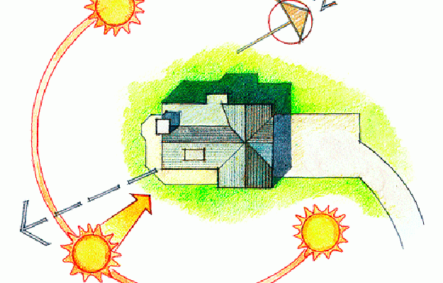
When it comes to construction activities, a certain measure of far sightedness is required to achieve efficiency for the development. People often argue about the added costs of architects, engineers, and other consultants for a project, but the benefits that these professionals bring in the long run is often over looked. Continue reading “Solar Orientation of Buildings”


 It is with great pleasure, Godfrey-Hoffman and Associates announces Mr. Jason Morehouse has recently joined our team.
 It is with great pleasure, Godfrey-Hoffman and Associates announces Mr. Jason Morehouse has recently joined our team.

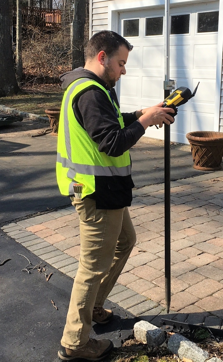
 The ability to determine the boundaries of a property is very useful, particularly for homeowners and developers who are planning to improve and expand their structures.