GHH Celebrates 100 Years of Quality & Accuracy!

Building on Trust, Delivering Results:
Godfrey Hoffman Hodge Celebrates 100 Years!

We’re pleased to share the news of this milestone and look forward to continuing to do what we’ve been doing for a century: providing our clients with fast, accurate and quality services. Here’s a brief history of how we got here:

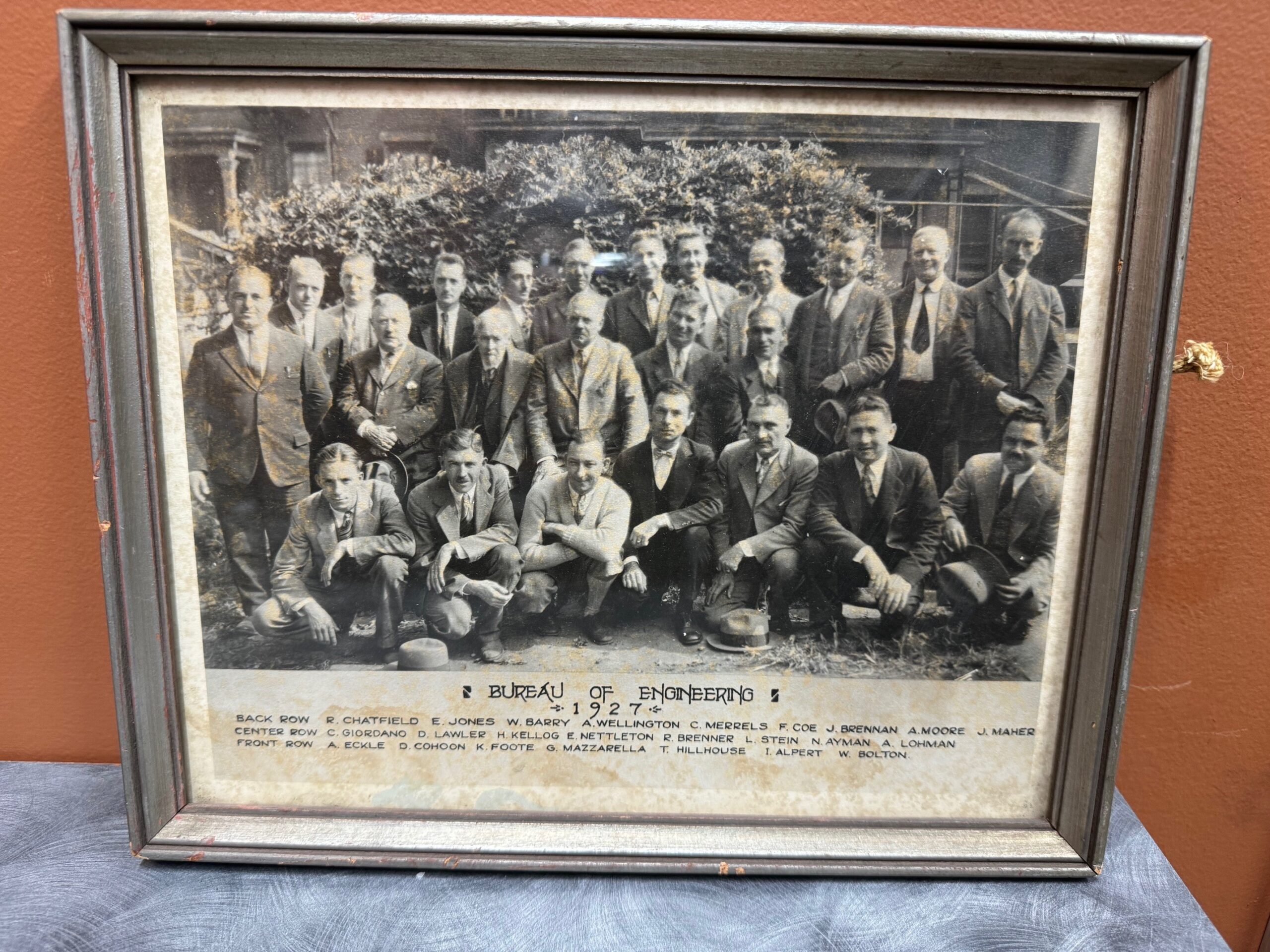
1924: The story begins when two young engineers, recent Yale graduate Lewis Stein and Constantine “Gus” Giordano meet while working for the City of New Haven Engineering Department. Together, they set out on their own and forge a partnership in New Haven, laying the foundation for a legacy in land surveying.

Bernard Godfrey enters the scene. While still in high school, he learns the ropes under Stein & Giordano’s guidance, igniting a lifelong passion for the field. His journey takes him through forestry, entrepreneurship, and back to surveying, eventually marrying Stein’s niece and taking over the firm in 1960.

Enter the next generation: Adam Hoffman, Godfrey’s nephew, joins the firm in 1977, inheriting the family’s dedication to precision and service. He expands his expertise with a forestry degree and land surveying minor, rising through the ranks before becoming a partner in 1988. The firm rebrands as Godfrey-Hoffman Associates.

The 2000s usher in expansion. Godfrey retires in 2000, and Hoffman restructures, solidifying the company’s future as a Limited Liability Company. The firm ventures into engineering with the addition of Victor Benni in 2001, further diversifying its offerings.

2010 marks a pivotal moment. Hoffman acquires Hodge Surveying, a Farmington Valley mainstay since 1925. This strategic move broadens the company’s reach and expertise.

Finally, in 2019, the two entities merge to become Godfrey Hoffman Hodge, LLC. This marks a culmination of nearly a century of dedication, bringing together 100 years of combined experience in land surveying and engineering.

Today, Godfrey Hoffman Hodge stands as a full-service powerhouse. We tackle projects across Connecticut, serving public, private, commercial, residential, and industrial clients. Our commitment to quality, accuracy, and cutting-edge technology ensures every project receives the attention it deserves.

Why GHH? Ask Surveyor Calvin Weingart…

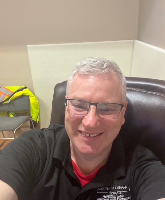
Meet Surveyor Calvin Weingart, P.L.S.

A Q & A with a 25 year veteran surveyor, Calvin finds passion and inspiration in his work and brings that to GHH’s clients on every project. 

How long have you worked at GHH?
I have worked here since June 15, 1998, so a little over 25 years.

What do you do and why do you do it?
I am a Professional Licensed Land Surveyor.  I do it because it is a good mix of outdoor physical activity and indoor intellectual activity.   I’ve been the Survey Manager at Godfrey Hoffman Hodge since 2015. I enjoy every aspect of the position from initial client contact to mission planning and execution to training and mentoring of survey technicians.

Why should someone seeking a survey contact GHH over your competitors?
I manage each job as I would want it managed if I was the client: consistent communication, performance to utmost ability, professionalism, patience. My goal is to minimize the chance the client will ask for an update.

What does a typical day look like for you?
I get in the office a little before 8 most days and review the plan of the day for our department.  I start mission briefs promptly at 8:00 and get the crew(s) ready to head out to the field.  If I am part of the field crew I gather files, gear and people and try to be out by 8:20 or so.  Between travel time and company hours there is only about 5 hours of onsite time so every minute counts in the morning.

If I am working in the office, I get the crew(s) launched out the door and start working on whatever task I have for myself that day.  This can range from survey computations, autocad drafting, land records research and quality review of completed surveys.  I have a dual mission in the form of staff and client support, so I am often switching from one function to another.

By about 2:30 or so I start thinking about the next day’s tasking to try and stay ahead of everyone so there is minimal down time and maximum efficiency.  By 3:30 the crew is usually back in, if they aren’t in already. They download the day’s data files and process all the info.  We attend to a few administrative chores such as time keeping and we wrap up at 4:30 with, hopefully, the next day planned out and all gear and files set to go.

What has changed during your career?
Technological advances in data collection, the availability of very accurate open-source data and municipal GIS.  All for the better or worse depending on your point of view.

What hasn’t changed?
The need for a professional surveyor’s expertise to verify measurements, the need to apply the rules of evidence and interpret boundary law and chopping line through dense brush on very hot days.

What’s the most interesting property you ever surveyed?
I  can’t name the exact property but I did get a chance to work in a very interesting location in the very heart of New Haven . Lets just say that we worked in spaces where some globally powerful people once socially  gathered in private.

What’s the hardest property you ever surveyed?
That is a subjective question! Some small parcels are very challenging with respect to forming a boundary opinion so the hard part is intellectual. On the other hand, some large parcels are physically demanding, such the 100 plus acres we surveyed in North Stonington.  I had two back to back days of walking 8 plus miles during one phase of the job. And there was the job this summer where we located and identified 612 trees.

What keeps you going back?
My job checks all the boxes for me: Physical work, intellectual work, technical expertise, mission planning, leadership, doing something that is a little offbeat that most people know a little about but not too much.  And finally, I am truly fortunate that I found a career in which you can start at the very bottom and work your way up to professional licensing through (I know this sounds quaint) hard work and dedication.

Tales From The Field

Recent Work Had Us Surveying Wetlands and Coastline

Cows, Drones and Projects in the News…

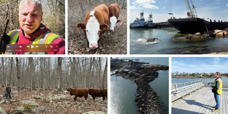
Calvin Weingart surveyed wetlands in North Stonington – he was greeted by a few wandering cows on this assignment.

Zach Weingart provided a drone survey for the Sachem’s Head Yacht Club where a grounded barge had to be removed from the breakwater. An article in the New Haven Register provides the backstory in further detail – link here to read about it.

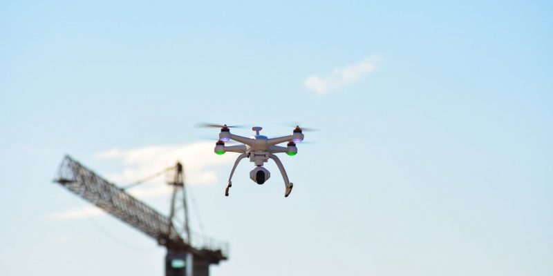
drone flying

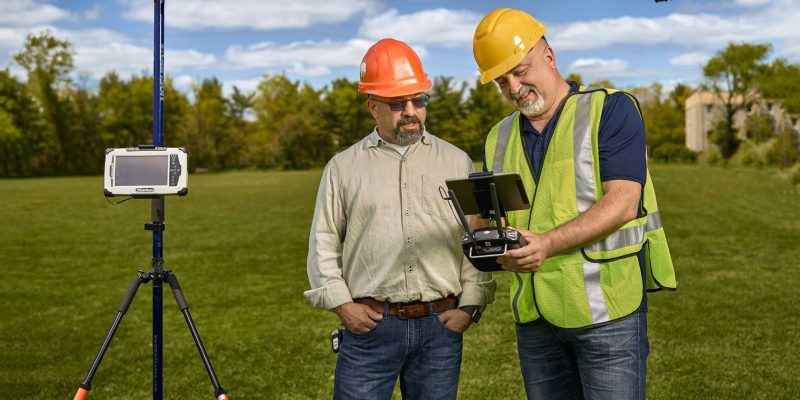
The Use of Drone Technology for Land Surveying of Construction Projects

Since Early America, land surveying has successfully mapped unknown territories and established governmental and private boundaries. Both George Washington and Thomas Jefferson were surveyors, utilizing a number of tools such as a compass, chains, and some early version of a transit or sextant to gather land distances, angles, and elevations. Today, land surveying with drone technology adds an additional layer of land access, monitoring, and precision measurement and documentation.

Continue reading “The Use of Drone Technology for Land Surveying of Construction Projects”

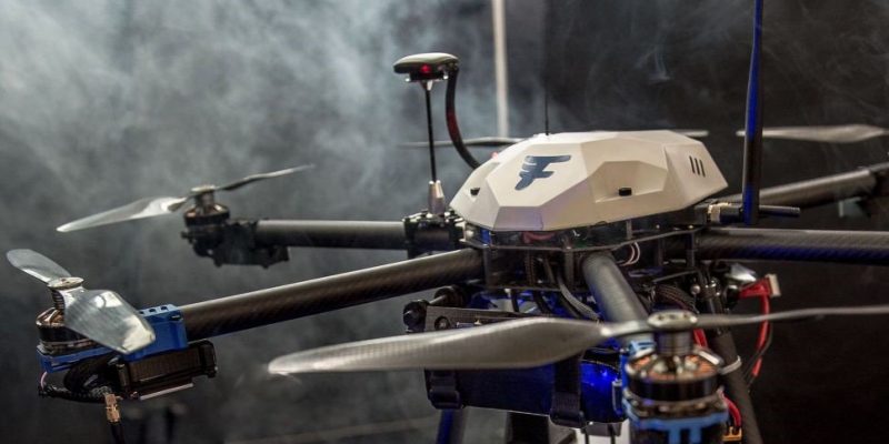
Laser & Drone Technologies

A shelter is one of the primary needs of mankind, and as it has evolved, the construction methodologies have also come a long way. One of the biggest hurdles in erecting any shelter, and a precursor for development to take place either from ground up or in terms of renovation / remodeling, has been to collect precise data. The accuracy of data collected, particularly dimensions help inform the engineers and the construction team to make the right decisions for the development to proceed.

Continue reading “Laser & Drone Technologies”

How are Drones Changing the Face of Construction?


Construction Drones of the Future:

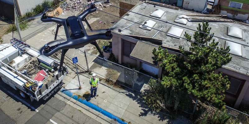
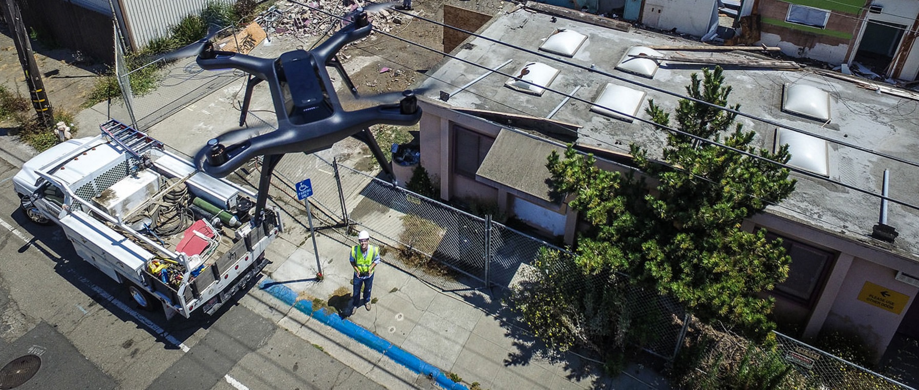
3DR_Solo_Commercial_Application.jpgThe future is here and drones are already changing the way we do construction. Many construction sites across the country are utilizing drones to help with project management. They provide real-time data, 3-D scans, project support and much more! They can also provide images for documentation, and most importantly monitor safety and security.

Continue reading “How are Drones Changing the Face of Construction?”

Senator Cory Booker To Introduce Commercial Drone Legislation Following FAA’s Amazon Ruling

U.S. Senator Cory Booker is set to introduce legislation to establish temporary rules to govern the commercial use of drones that could greatly expand the ability of companies to fly unmanned vehicles, according to documents obtained by FORBES.

Continue reading “Senator Cory Booker To Introduce Commercial Drone Legislation Following FAA’s Amazon Ruling”

Surveyors, Drones, and the FAA: Bringing Law and Order to the Sky

Drone Blog resized 600

Sometimes, technology develops faster than regulatory agencies can regulate, and with drones, this has certainly been the case. For years now, law regarding the use of drones has been unclear and rarely enforced. For some surveyors, this lax regulation has allowed the latest surveying technology to thrive; surveying by drone.

Continue reading “Surveyors, Drones, and the FAA: Bringing Law and Order to the Sky”