
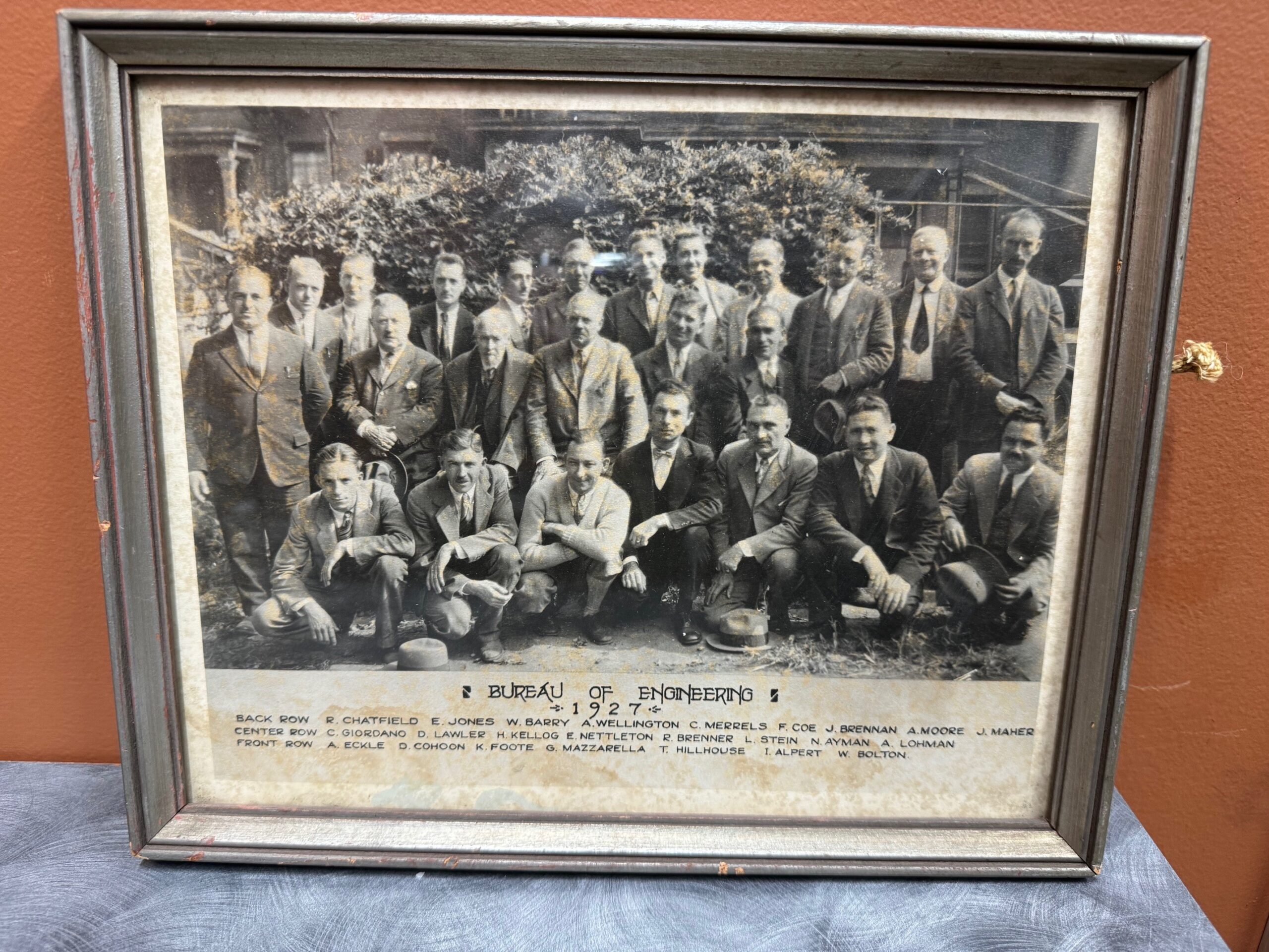
Why work with us?
Here’s 10 reasons why GHH is above and beyond the rest:
(🥁 Drum Roll Please 🥁)
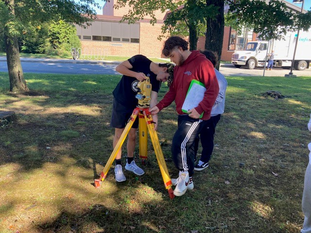
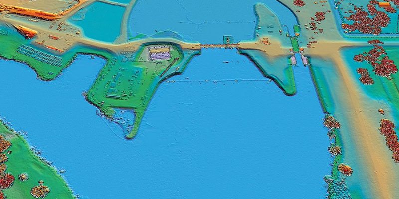
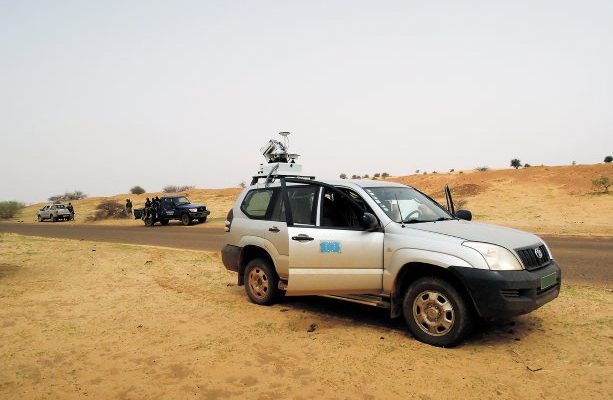
#10 – Efficient and Accurate Surveys:
Understanding the value of your time, we ensure our surveys are conducted efficiently without compromising accuracy. Our state-of-the-art technology and experienced surveyors work diligently to provide precise results promptly.
#9 – Clear and Undisputed Property Boundaries:
We specialize in delivering clear and detailed boundary surveys. Our meticulous approach ensures that the boundaries of your property are established with undisputed accuracy, providing you with peace of mind and legal clarity.
#8 – Comprehensive Initial Surveys with All Details:
Our initial surveys are thorough, aiming to capture all necessary details to prevent the need for additional work mid-project. This comprehensive approach saves you time and resources in the long run.
#7 – Accurate Representation of Constructed Projects:
For those involved in construction, we offer as-built surveys that accurately reflect the completed project. This ensures that your construction aligns with planned designs and meets all regulatory requirements.
#6 – Cost Effective Surveying Services:
We understand the importance of budgeting. We offer competitive pricing without compromising on quality, ensuring you receive the best value for our services.
#5 – Reliable Surveys for Confident Development:
Our surveys provide the reliable data needed for your development projects. With our detailed reports, you can proceed with your projects confidently, knowing that you have accurate and comprehensive information.
#4 – Surveys Simplifying Real Estate Transactions:
We streamline the real estate transaction process with our surveys. Whether you are buying, selling, or developing, our accurate surveys provide the essential information needed for smooth transactions.
#3 – Access to a Range of Survey Types:
Our services cover various types of surveys, including topographic, boundary, and special purpose surveys like floodplain analysis, ensuring that all aspects of your land are thoroughly assessed.
#2 – Updated and Precise Records:
We use the latest methods to ensure that our survey records are up-to-date and precise, reflecting the current state of your property accurately.
#1 – !!!YOUR SATISFACTION IS OUR PRIORITY!!!:
All of us at GHH are committed to providing services that not only meet but exceed your expectations. We invite you to give us a call and thank you in advance for choosing us as your trusted partner in land surveying!


 This week (December 2014), using some of the most advanced camera and laser scanning technologies, “[a] bust of President Obama was created by a Smithsonian-led team of 3D-digital-imaging specialists, Autodesk and 3D Systems, in collaboration with the University of Southern California’s Institute for Creative Technologies” (