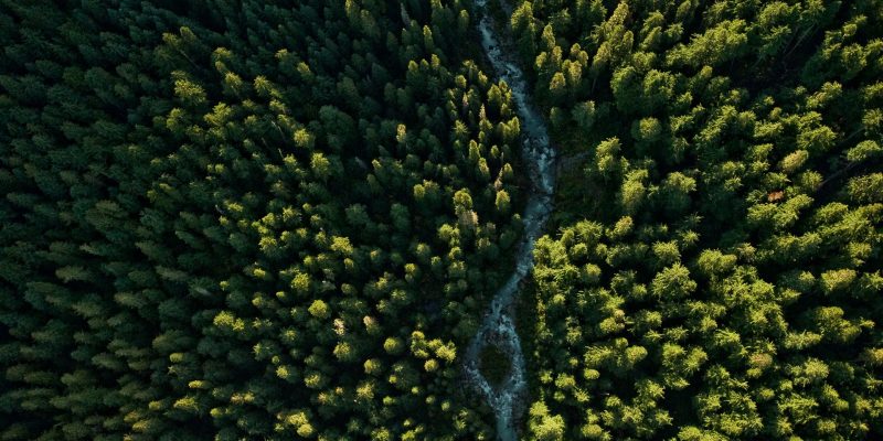
For years, ecologists have longed for the technology to be able to survey entire forests, knowing what kind of species, the height and width of each and every tree. With aerial 3D laser scanning, this has become a possibility.
When forest surveys were an absolute must in the past, it often involved scientists going into the forest to count specimens and aproximate forest densities. They made use of the standard total stations land surveyors used to locate trees where necessary. This was an incredibly tedious and consequently expensive process.
However, with the ability to mount 3D laser scanning technology to all sorts of vehicles, why not mount them to an airplane? Or drones? Mind you, the type of scanning technology these planes and drones are equiped with are highly modified to be able to optimally capture whatever it is they scan, be it trees, cityscapes, or topography.
You can read more about 3D aerial scanning at NPR.org.