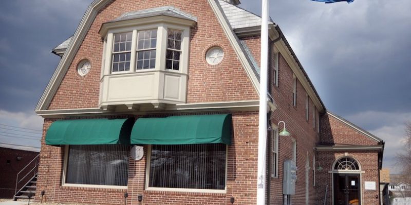
The 25th annual Salvation Army/WTIC Holiday Store donation drive was held on Christmas Eve this year and once again Hodge, LLC was part of this event.

The 25th annual Salvation Army/WTIC Holiday Store donation drive was held on Christmas Eve this year and once again Hodge, LLC was part of this event.
 This week (December 2014), using some of the most advanced camera and laser scanning technologies, “[a] bust of President Obama was created by a Smithsonian-led team of 3D-digital-imaging specialists, Autodesk and 3D Systems, in collaboration with the University of Southern California’s Institute for Creative Technologies” (whitehouse.gov).
Continue reading “Printing the President’s Face: 3D Scanning” →

Continue reading “Connecticut Bar Association – Construction Documentation” →

All of us here at Godfrey-Hoffman, Associates and Hodge, LLC thank you for being our valued customers over the years, and feel grateful for the pleasure of serving you and meeting your surveying and engineering needs.
We hope you enjoy your Thanksgiving as much as these two WWI soldiers did when they got home!

With heavy mechanical instruments, surveyors laid out the border between North and South Carolina several hundred years ago. Vast sections of the border went through thick forests or open farm fields. Hence, at the time, it made sense to mark the border with notches in trees made with hatchets and the occasional rock pile. Since that time of course, those trees and even many of the rocks are no longer there.
 Not knowing the exact location of the border wasn’t an issue for a long time; the area between the Carolinas was prodominantly rural. But now, with sharp increases in development, the states and property owners need to know; where exactly is the border?
Continue reading “Surveyors to Fix Border between North and South Carolina” →
 The ability to determine the boundaries of a property is very useful, particularly for homeowners and developers who are planning to improve and expand their structures.
Finding these property lines is important for those who want to defend their homes from boundary encroachments and homeowners should also know their exact location in order to maintain the complete value of their property.

Building is a high-cost investment that has the potential for a great return. However, along with the risks associated with such an investment, issues with the boundary of a property or it’s zoning or deed restrictions are known to cause headaches. Property disputes and unauthorized improvements are an expense that no one wants to bear.
When facing unauthorized improvements and boundary disputes, you require a surveyor’s assistance. The best time to seek this assistance is before you build as to resolve and prevent any issues curtailing the building itself and its profit at completion.
Boundary surveying confirms boundaries of your piece beforehand. Though existing features on your land may convey a boundary (for example, fences or a line of trees), the actual boundary can be quite different. If land is developed based on an assumed boundary, town or city officials will require you to remove the feature at fault or apply for a variance to clear up the issue.
Continue reading “Boundaries, Improvements, and Peace of Mind” →

After an earthquake in Mineral, VA, damaged the massive stone obelisk, extensive repairs were needed. Part of that process involved wrapping the structure in scafolding. Some $15 million dollars and a year later, repairs were finally completed this May (2014).
The government office tasked with knowing the exact coordinates and dimensions of the monument took this as an opportunity to have a survey crew resurvey the monument. When last surveyed in 1999, the monument was 555 feet, 5 1/8 inches.
Continue reading “Surveying the Washington Monument: is it sinking?” →
