Continue reading ““I saw on the Internet that a survey should cost $300””


At Godfrey-Hoffman Hodge we take great pride in mentoring the upcoming generations of our industry. As professionals, it is important to learn what students’ interests are, and what issues they are passionate about. This helps us figure out what might draw a young person to this career field, and get a read on some of the general trends and attitudes of young people entering the professional world.
Continue reading “Finding Common Ground at Planting Seeds” →

The Connecticut Associates of Land Surveyors is professional organization “dedicated to
Continue reading “What are the benefits of belonging to a professional organization?” →

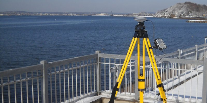
Every survey job is different, and it is difficult to determine the price of a job before knowing more about the property/properties involved, and the needs of the client. Here, we break down the steps of a survey job to explain why a survey might cost more than anticipated, and why it is important for the customer to make sure they are making a good investment.

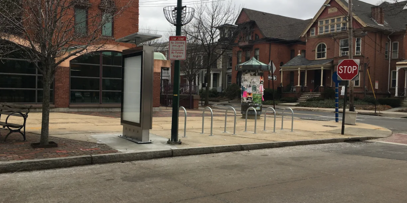
What if there was an affordable, efficient way to get around New Haven? One that didn’t involve getting in a car? And one that lowered your carbon footprint?

Elevation certificates (EC) are necessary when your home or business is in a high flood risk area. Your insurance agent uses the data from an elevation certificate to determine your flood insurance premium. FEMA provides a clear and detailed summary of who needs elevation certificates and why here: https://www.fema.gov/media-library/assets/documents/32330 If the data collected for an EC shows that your home is above Base Flood Elevation (meaning that there is a 1% or less chance that floodwaters will reach this elevation in a given year), it may be appropriate to apply for a Letter of Map Amendment. A LOMA is issued when a property “has been inadvertently mapped as being in the floodplain, but is actually on natural high ground above base flood elevation.”
