Every survey job is different, and it is difficult to determine the price of a job before knowing more about the property/properties involved, and the needs of the client. Here, we break down the steps of a survey job to explain why a survey might cost more than anticipated, and why it is important for the customer to make sure they are making a good investment.
Something a lot of people might not know is that a property survey consists of many steps. The time a land surveyor spends working on your property is only a portion of the total work time dedicated to the job. Some jobs require a different ratio of field time to office time.
First is the research stage. In order to properly research the history of a parcel, one can expect it will take the surveyor anywhere from a few hours to, in some cases, a few days in various town departments. This depends on whether the property is residential or commercial, and how previous owners have added, subtracted, or divided the property. State statutes bind surveyors to perform adequate research on which to base their boundary opinion. If a surveyor makes a mistake or overlooks something in the research stage, this could cost more money and time in the future, or even lead to legal trouble. Therefore, it is important for both the surveyor and the client’s sake that the surveyor be thorough and methodical when conducting research. Our investigation of the title may lead to more questions that we need to resolve in order to meet our statutory requirements. It is impossible to gauge the level of difficulty and therefore, the amount of time a research job will take until we are well invested in the project.
The fieldwork phase of a job is much like the research. We don’t know what sort of evidence remains in the ground until we have spent several hours searching for and recovering boundary markers (pins, monuments, pipes, etc) In some cases we have search far outside the geographical area of our project for markers, to ensure we have enough evidence to properly compute the boundaries of your property.
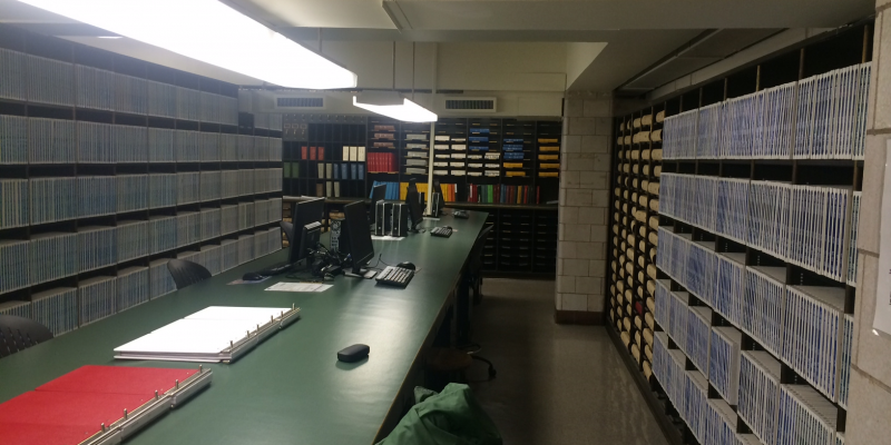
The office phase of the survey is separated into two parts: drafting and computations. The quality of the drafting depends on the skill of the draftsperson. At GHH, our employees have years of drafting experience to augment their surveying expertise. The finished map is subject to at least two layers of review to ensure adherence to our own CAD standards and, more importantly, adherence to CT. GEN Statue 20-300bwhich governs what must be shown on any survey map signed by a licensed surveyor in the State of Connecticut.
The computation phase of the survey can often be the most time consuming of the entire project. Licensed surveyors first consider the deeds of the subject property and the deeds of the adjoining properties. They also mathematically check any existing mapping of these properties found during research. Next, we consider and analyze the logic that the previous surveyor used in arriving at their opinion of the boundaries. The computation phase resembles putting together a puzzle. We must consider how all the boundary lines mathematically fit together, and then how the lines of the subject property fit within this larger whole.
In the course of collecting data and forming a boundary line opinion, surveyors do their utmost to ensure that the final opinion will withstand professional or legal challenges in the future. That means that a competent surveyor should, to the best of his or her ability, perform all necessary functions to arrive at a defensible opinion. The client must be able to trust that a surveyor will do the job properly, and be able to stand by the final product, especially if their work is challenged legally or by another surveyor.
There are many surveyors to choose from. We can only recommend that you choose one who is committed to their obligation to serve the welfare of the public and one who will conscientiously adhere to the standard of care that exists in our profession.