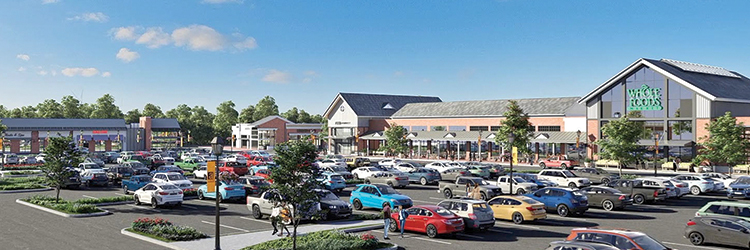
Avon Village Center welcomes you! GHH’s newest development with the Carpionato Group
GHH helped develop the newest retail development in Avon, the Avon Village Center with its partner, Carpionato Group, furthering its stake in the commercial development industry, on September 1st, 2021
Developing the Center

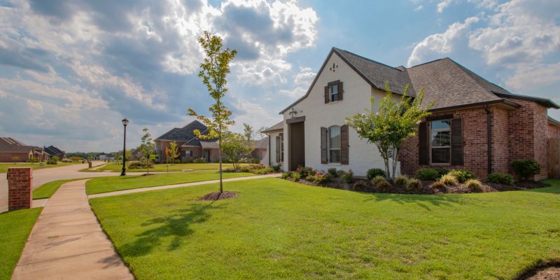
Godfrey Hoffman Hodge and the Carpionato Group have been working hard on creating the newest commercial development in Avon, CT, Avon Village Center. This modern commercial and residential hybrid development is sure to stay with opportunities abound for locals.
The first retailer to open in the center was the Whole Foods Market, guaranteed to draw large crowds. GHH is proud to announce that we were a part of the ribbon cutting ceremony for the Whole Foods, formally announcing the opening of the center.
To learn more about the complex’s beginning stages, check out these articles: https://patch.com/connecticut/avon/avon-village-center-phase-1-complete
https://www.avonct.gov/planning-community-development/pages/avon-village-center-project
https://www.carpionatogroup.com/property/486/avon-village-center-avon