Before the first pipe is laid or the first shovel hits the ground, every successful stormwater management plan begins with one thing — precise, reliable survey data. At Godfrey Hoffman Hodge, our survey and mapping expertise forms the foundation that civil engineers rely on to design systems that protect properties, prevent flooding, and preserve the environment.
A topographic survey does more than map contours. It uncovers the subtle variations in elevation that dictate how water moves across a site — where it collects, how it drains, and where intervention is needed. These details empower engineers to design drainage systems that perform efficiently and meet every local, state, and federal standard.
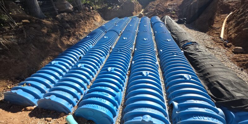
Surveying also plays a critical role in erosion and sediment control. By capturing existing grades, soil conditions, and watershed boundaries, our data informs design decisions that prevent runoff from damaging nearby properties or reaching sensitive wetlands and waterways. From the placement of swales and retention basins to the sizing of culverts and storm drains, accurate survey data drives smart design.
Whether for new developments, roadway improvements, or campus expansions, accurate survey information reduces risk, saves time, and prevents costly field changes. It’s foresight you can measure — in smoother projects, safer outcomes, and lasting value.
At GHH, we combine time-tested surveying skill with cutting-edge technology — GPS, robotic instruments, 3D laser scanning, and drone mapping — to deliver data our clients can trust. Because when it comes to stormwater design, success isn’t just measured in cubic feet per second — it’s measured in foresight, precision, and partnership.