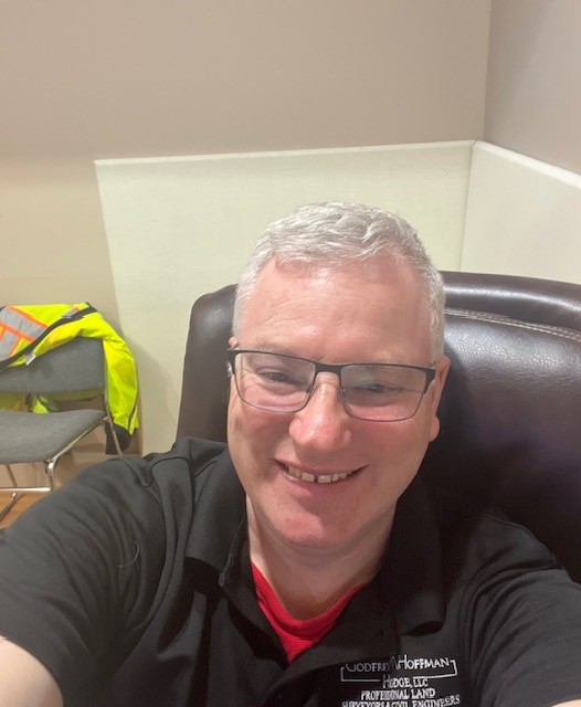
Meet Surveyor Calvin Weingart, P.L.S.
A Q & A with a 25 year veteran surveyor, Calvin finds passion and inspiration in his work and brings that to GHH’s clients on every project.
How long have you worked at GHH?
I have worked here since June 15, 1998, so a little over 25 years.
What do you do and why do you do it?
I am a Professional Licensed Land Surveyor. I do it because it is a good mix of outdoor physical activity and indoor intellectual activity. I’ve been the Survey Manager at Godfrey Hoffman Hodge since 2015. I enjoy every aspect of the position from initial client contact to mission planning and execution to training and mentoring of survey technicians.
Why should someone seeking a survey contact GHH over your competitors?
I manage each job as I would want it managed if I was the client: consistent communication, performance to utmost ability, professionalism, patience. My goal is to minimize the chance the client will ask for an update.
What does a typical day look like for you?
I get in the office a little before 8 most days and review the plan of the day for our department. I start mission briefs promptly at 8:00 and get the crew(s) ready to head out to the field. If I am part of the field crew I gather files, gear and people and try to be out by 8:20 or so. Between travel time and company hours there is only about 5 hours of onsite time so every minute counts in the morning.
If I am working in the office, I get the crew(s) launched out the door and start working on whatever task I have for myself that day. This can range from survey computations, autocad drafting, land records research and quality review of completed surveys. I have a dual mission in the form of staff and client support, so I am often switching from one function to another.
By about 2:30 or so I start thinking about the next day’s tasking to try and stay ahead of everyone so there is minimal down time and maximum efficiency. By 3:30 the crew is usually back in, if they aren’t in already. They download the day’s data files and process all the info. We attend to a few administrative chores such as time keeping and we wrap up at 4:30 with, hopefully, the next day planned out and all gear and files set to go.
What has changed during your career?
Technological advances in data collection, the availability of very accurate open-source data and municipal GIS. All for the better or worse depending on your point of view.
What hasn’t changed?
The need for a professional surveyor’s expertise to verify measurements, the need to apply the rules of evidence and interpret boundary law and chopping line through dense brush on very hot days.
What’s the most interesting property you ever surveyed?
I can’t name the exact property but I did get a chance to work in a very interesting location in the very heart of New Haven . Lets just say that we worked in spaces where some globally powerful people once socially gathered in private.
What’s the hardest property you ever surveyed?
That is a subjective question! Some small parcels are very challenging with respect to forming a boundary opinion so the hard part is intellectual. On the other hand, some large parcels are physically demanding, such the 100 plus acres we surveyed in North Stonington. I had two back to back days of walking 8 plus miles during one phase of the job. And there was the job this summer where we located and identified 612 trees.
What keeps you going back?
My job checks all the boxes for me: Physical work, intellectual work, technical expertise, mission planning, leadership, doing something that is a little offbeat that most people know a little about but not too much. And finally, I am truly fortunate that I found a career in which you can start at the very bottom and work your way up to professional licensing through (I know this sounds quaint) hard work and dedication.


 Right of Way (ROW) can be simply defined as a rite of passage to another person’s land or property. This is a common term often used by