
CT Insider covered our 100 Years in Business! Link here to read the full article.

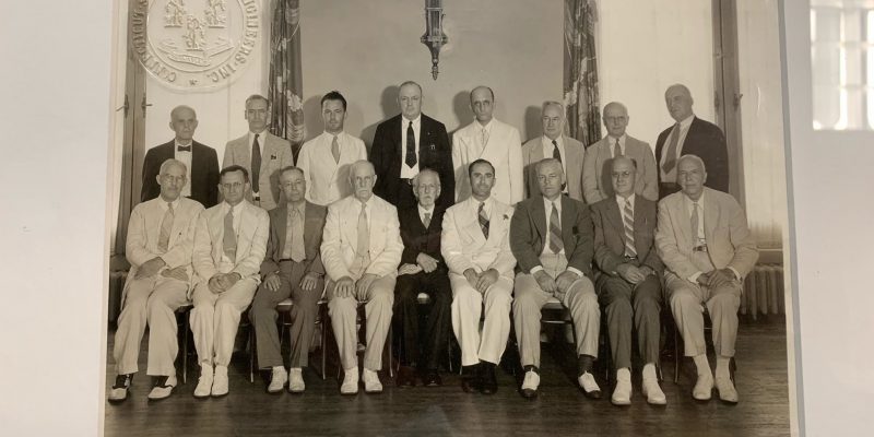
1924: The story begins when two young engineers, recent Yale graduate Lewis Stein and Constantine “Gus” Giordano meet while working for the City of New Haven Engineering Department. Together, they set out on their own and forge a partnership in New Haven, laying the foundation for a legacy in land surveying.
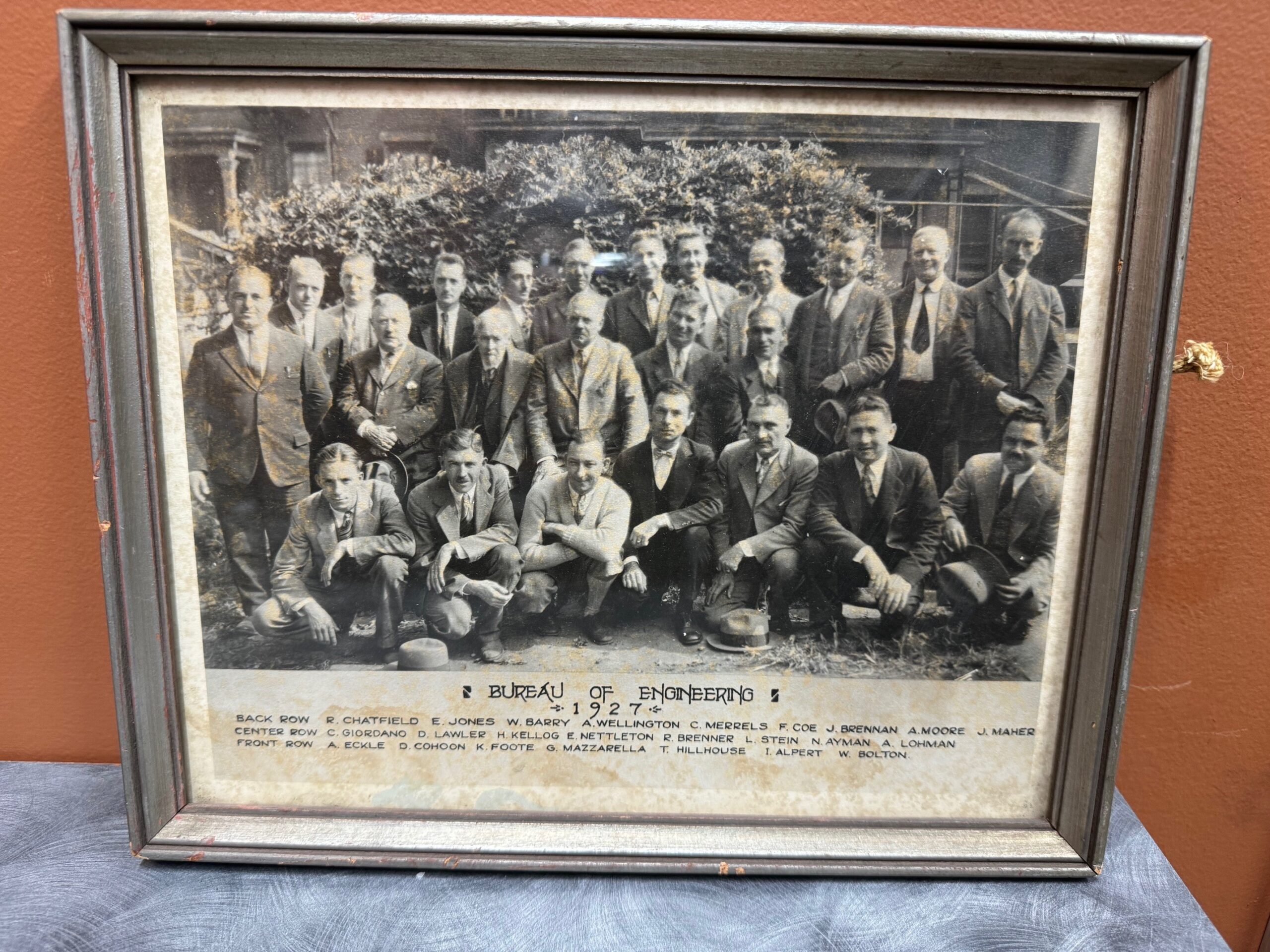
Bernard Godfrey enters the scene. While still in high school, he learns the ropes under Stein & Giordano’s guidance, igniting a lifelong passion for the field. His journey takes him through forestry, entrepreneurship, and back to surveying, eventually marrying Stein’s niece and taking over the firm in 1960.
Enter the next generation: Adam Hoffman, Godfrey’s nephew, joins the firm in 1977, inheriting the family’s dedication to precision and service. He expands his expertise with a forestry degree and land surveying minor, rising through the ranks before becoming a partner in 1988. The firm rebrands as Godfrey-Hoffman Associates.
The 2000s usher in expansion. Godfrey retires in 2000, and Hoffman restructures, solidifying the company’s future as a Limited Liability Company. The firm ventures into engineering with the addition of Victor Benni in 2001, further diversifying its offerings.
2010 marks a pivotal moment. Hoffman acquires Hodge Surveying, a Farmington Valley mainstay since 1925. This strategic move broadens the company’s reach and expertise.

Finally, in 2019, the two entities merge to become Godfrey Hoffman Hodge, LLC. This marks a culmination of nearly a century of dedication, bringing together 100 years of combined experience in land surveying and engineering.
Today, Godfrey Hoffman Hodge stands as a full-service powerhouse. We tackle projects across Connecticut, serving public, private, commercial, residential, and industrial clients. Our commitment to quality, accuracy, and cutting-edge technology ensures every project receives the attention it deserves.
Once the piers are installed the foundation will be marked out for construction.
Stay tuned for updates as we follow this project to completion!
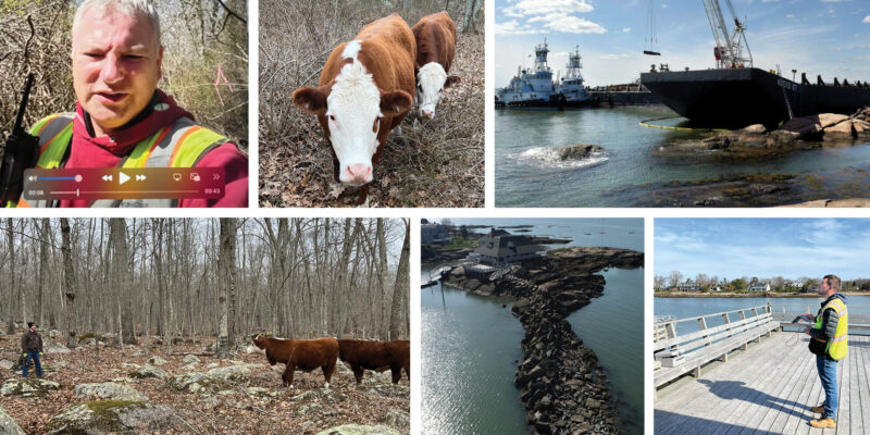
Calvin Weingart surveyed wetlands in North Stonington – he was greeted by a few wandering cows on this assignment.
Zach Weingart provided a drone survey for the Sachem’s Head Yacht Club where a grounded barge had to be removed from the breakwater. An article in the New Haven Register provides the backstory in further detail – link here to read about it.
Winterbourne Land Services is a Connecticut historic Land Surveying and Civil Engineering company, established in 1993 by Rosalind C. Page. The firm was one of the first woman owned land surveying companies in the state. Rosalind was one of the few professionally licensed female land surveyors at the time. The Winterbourne team has worked on an abundance of private, commercial, and municipal projects of all shapes and sizes. The firm has performed work within New Haven, Middlesex, and Hartford counties.


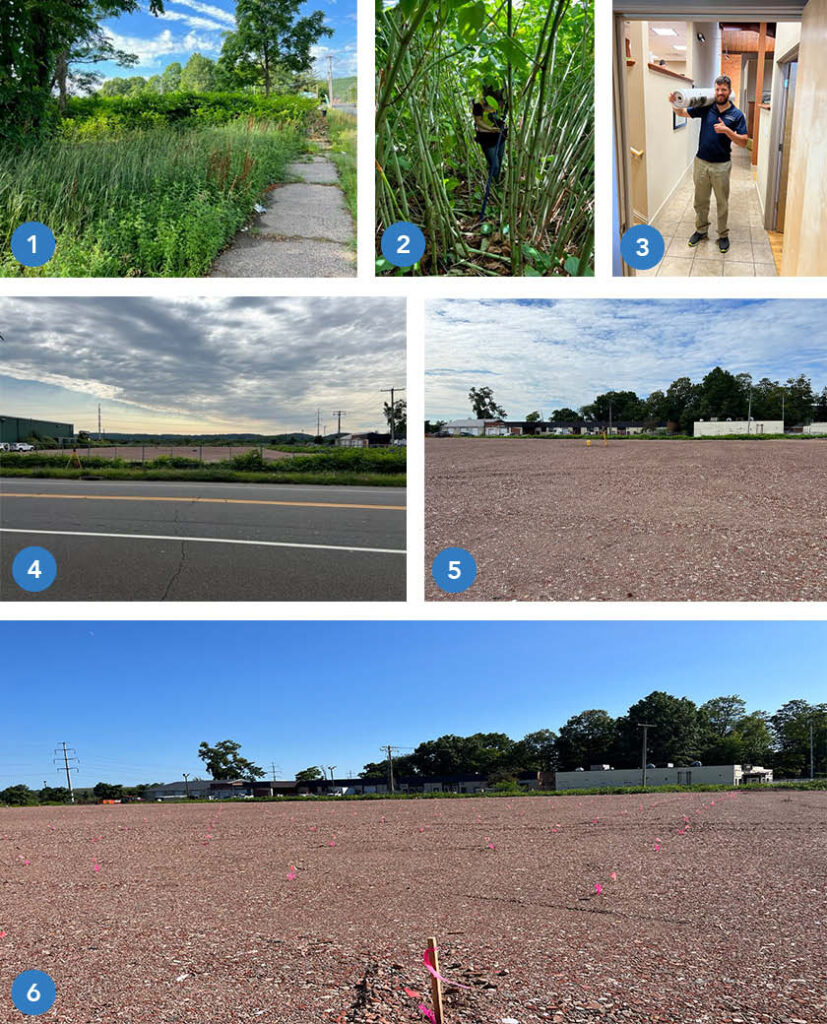
Godfrey Hoffman Hodge and the Carpionato Group have been working hard on creating the newest commercial development in Avon, CT, Avon Village Center. This modern commercial and residential hybrid development is sure to stay with opportunities abound for locals.
The first retailer to open in the center was the Whole Foods Market, guaranteed to draw large crowds. GHH is proud to announce that we were a part of the ribbon cutting ceremony for the Whole Foods, formally announcing the opening of the center.
To learn more about the complex’s beginning stages, check out these articles: https://patch.com/connecticut/avon/avon-village-center-phase-1-complete
https://www.avonct.gov/planning-community-development/pages/avon-village-center-project
https://www.carpionatogroup.com/property/486/avon-village-center-avon
Clarence Blair Associates History
Clarence Blair Associates was founded in 1892, earning and diligently maintaining an excellent reputation of high-quality survey and engineering service throughout their long history. GHH’s current owner, Adam Hoffman, has had a long professional relationship with CBA, dating back early in his survey career, working as an instrument man and survey party chief at CBA in the early 1980s.
Godfrey Hoffman Hodge History
GHH is a third-generation, multi-disciplinary firm established in New Haven County in 1924 under the name Stein and Giordano. In 1968, ownership passed to Bernard E. Godfrey (Also a CBA employee back in the early 1960’s). Godfrey took current owner Adam Hoffman on as business partner and co-owner in 1988, changing our name to Godfrey-Hoffman Associates to reflect the partnership. In 2010, we acquired the Farmington Valley-based survey firm Hodge Surveying Associates, whose own lengthy history dates back to 1925. In 2020, we adopted our current name to reflect this change. Over the years, GHH has grown to provide a full range of land surveying, civil engineering, planning, design, and permitting services throughout the entire state of Connecticut, operating out of our main office at 26 Broadway, North Haven.
Learn More
Contact Us
February 23rd boasts this festival. It is named after the Ancient Roman God of land boundaries, Terminus. Terminus was portrayed as a stone with no arms or legs, symbolizing the boundary marker between plots of land. This portrayal of Terminus was especially important in emphasizing how the boundaries were binding. The name is derived from the Latin word for such a boundary.
Romans believed that a sacrificial festival must occur at the end of each calendar year, February 23rd, in order to remain on good terms with the god. These sacrifices included adorning the physical terminus (boundary marker) with floral garland and offerings of sweets and other meals. It also included physical sacrifices of lambs or pigs.
The terminus was believed to be the peacekeeper between neighbors. It ensured that there would be no arguing over property lines. Neighbors would meet at their local terminus for this celebration annually. A large feast would then occur! 🍾

You may be wondering why a group of land surveyors and civil engineers in the 21st century would want to celebrate an Ancient Roman festival…🤔
The use of terminuses in ancient Rome are the some of the earliest forms of the modern practice of boundary marking with the use of specific objects, markers, or locations. Without the ancient Romans creating a practice of respect between neighbors and foreigners, by placing terminuses between their properties, the art of land surveying may not be where it is today.
Join Us!
While we may not be adorning stone boundary markers or offering sacrifices to a deity, we are celebrating the great history of our profession and the advancements we have made through the centuries. Check out these great resources on Terminalia:
https://www.britannica.com/topic/Terminus
https://pantheon.org/articles/t/terminus.html
https://www.merriam-webster.com/words-at-play/word-history-of-terminate-terminator
In the past, the instruments used to survey land were simpler in design, but harder to use in practice. These included chains, solar compasses and compasses. For instance, chains with a specified size linkage would be used to measure distances from point to point, while compasses would determine the distance of that line.
As time progressed, newer technologies were developed to remove some of the manual calculations needed to progress with surveying. One such tool is called a planimeter – planimeters measure asymmetrical land eliminating the need for charts and manual calculations.
One of the main tools used by land surveyors today is a gadget that is also quite prominent in the lives (and cars) of millions of people – the GPS system. A GPS (or global positioning system) works with satellites that scan the earth from space and very accurately graph the view and transmit it into data to view on the small GPS or computer screen for surveyors to look at. The only downside to GPS systems is the difficulty they have reading land coordinates in dense forest area and the surroundings of concrete structures.
Of course, there are hundreds of other tools that land surveyors use on a regular basis, but these few examples should give you a good idea into how these people do their jobs.
