Sometimes while dealing with land development, and with larger parcels of land, there can be some conflict in boundary line placement. While records are always maintained of the properties, with the town and/or city administration, there are certain chances of disputes and inconsistencies on paper and on ground. These conflicts are a major source of concern, especially when carrying out development work, or when selling land.
With larger parcels of land, with natural features like creeks, riverbeds, and marshes, boundary lines of plots are very difficult to accurately place. Getting fresh boundary line retracement done, to update and compare with the existing town hall plans, also helps in keeping town records up to date.

Engineers, architects, developers and real estate agents, also prefer to have updated and accurate plot dimensions to work from and negotiate with their clients as closest as possible to the real boundaries on ground.
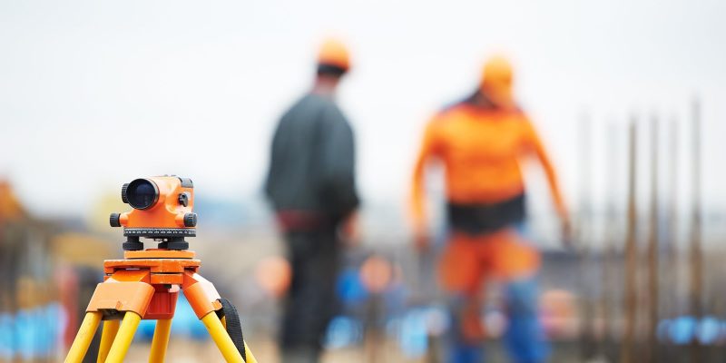
The survey is carried out by carefully examining the existing records with the clients, and comparing it with the one at the town hall. Careful surveys are done on the ground by comparing all of the evidence, including natural monuments, which are distinct, such as geographical, terrain, hydrological or geological features. Additionally, artificial items like pipes, concrete markers, rock piles, among others, are also marked clearly in these surveys, in relation to the survey document that is being maintained.
Boundary line retracement, also helps in maintaining clarity of one’s own plot area, and helps to make sure that the neighbors, don’t have to worry about plots being overlapped. This will help maintain cordial relationships in the community, and of ease of working relationships, for everyone involved.

